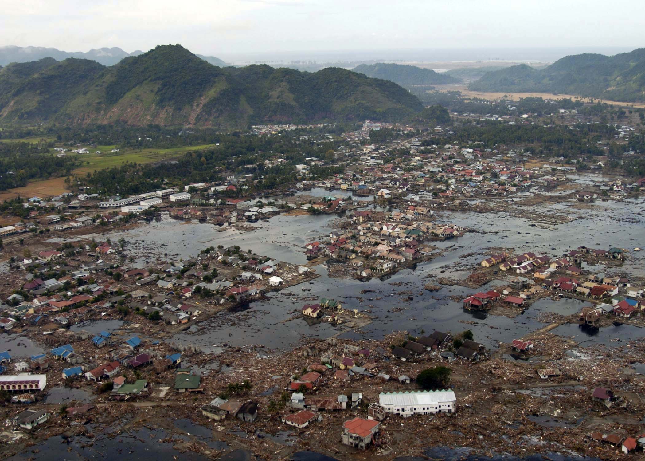
Indian Ocean Tsunami
On December 26, 2004, the Indian Plate slid 15 meters beneath the Burma Plate along a 1,300-kilometer rupture off the coast of Sumatra. The resulting tsunami killed 230,000 people in 14 countries — the deadliest tsunami in recorded history.
The M9.1 quake ruptured the longest fault segment ever recorded — from Sumatra all the way to the Andaman Islands. The seafloor displaced vertically by up to 5 meters, displacing roughly 30 cubic kilometers of seawater.
Waves reached the coast of Sumatra within 15 minutes. The Indonesian province of Aceh — the closest landfall — suffered 167,000 deaths. The town of Banda Aceh was virtually erased.
The tsunami crossed the entire Indian Ocean within 7 hours, killing people on the coasts of Thailand, Sri Lanka, India, the Maldives, Somalia, Kenya, and Tanzania. There was no warning system. In 2005, the international community fast-tracked the Indian Ocean Tsunami Warning System, modeled on the Pacific version that had existed since 1949.
Earth's day became 2.68 microseconds shorter. The North Pole shifted by 2.5 centimeters. The planet's overall shape became very slightly less oblate.